Overview
Our ultimate goal is to build the digital infrastructure necessary for the Australian grains industry to map, monitor, manage and forecast production across Australia. We rely on climate data, crop models, and optical and SAR satellite data which we combine with various sources of field data. We use the JECAM site in Victoria to test and benchmark our methods before porting them to regional and national scales.
Project Objectives
Mapping Agricultural Areas
Operational Implementation Plan
We are testing several machine learning methods to classify crops using optical images and SAR data. Last season, a particular point of interest was the identication of We have been ramping up to apply our local and regional crop type mapping algorithms to national scale. While we have the capabilities to process the satellite imagery, representative field data is the main drawback preventing us to achieve it. We have also led and brought to completion the second cross site experiment on the effect on roadside sampling for cropland mapping.
Scale
JECAM site/regions/states
Forecasting Agricultural Variables
Operational Implementation Plan
We have developed a series of satellite-driven methods for yield estimation based on MODIS which can be applied in-season to forecast grain yield. To complement this approach, we also rely on crop modelling to provide yield estimates early in the season. Future research will include machine learning of crop yield for national scale assessment.
Agricultural Variables (large scale)
- Yield
- Crop rotation
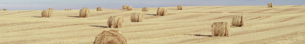
Site Description
| Landscape Topography | Gently undulating landscape |
|---|---|
| Typical Field Size | Paddocks are often as large as 250 ha. |
| Climatic Zone | The climate is temperate with winter rainfall and dry summers. The average growing season rainfall (April to October) is 250mm. |
| Major Crops and Calendars | Other leguminous crops (Normal): Grassland and Meadows (Early,Normal,Late): Lentils (Normal): Canola (Normal): Oats (Normal): Winter Barley (Early,Normal,Late): Winter Wheat (Early,Normal,Late): |
| Soil Type & Texture | Organic:
Inorganic:
|
| Soil Drainage Class | ["Well drained","Imperfectly drained"] |
| Irrigation Infrastructure | ["Center pivot irrigation","Not Frequent"] |
| Other Site Details | Mainly rainfed, mechanized and intensive cropping systems. |
In Situ Observations
Crop type
- Crop Type(s): Winter Wheat, Winter Barley, Oats, Canola, Lupins, Lentils, Chick peas
- Collection Protocol:
Roadside sampling on main and secondary roads. Surveys are conducted once in the season usually flowering. We also source some crop labels from growers and consultants. Paddock boundaries are manually digitized using very high resolution and in-season Sentinel-2 images.
- Frequency: Once per season, around flowering
Yield
- Crop Type(s): Winter Wheat, Canola, Winter Barley
- Collection Protocol:
Ad hoc collection of yield maps from growers or consultants.
- Frequency: seasonally
EO Data
Optical Data Requirements
SAR Data Requirements
Passive Microwave Data Requirements
Thermal Data Requirements
Results
Documents and Files
Links to paper
Project Reports
Study Team
Team Leader
Other Team Members