Overview
The main objectives of the project were to collect soil and crop data in order to: 1) further validate the simulation model AQUACROP to predict durum wheat yield and soil water content; 2) explore the potential of recently ESA launched satellite Sentinel-2 for its use in agriculture.
Owing to the Li-COR equipment malfunction, we could not apply the multivariate geostatistical method of data fusion, described in the previous report, aimed at the prediction of leaf area index (LAI), IPAR and crop height from a set of ground-truth Li-COR measurements by using multi-temporal Sentinel-2 multiband images as auxiliary variables.
Project Objectives
Estimation of Biophysical Variables
Operational Implementation Plan
Biophysical Variables
- LAI (Leaf Area Index)
- Biomass
- IPAR
Forecasting Agricultural Variables
Operational Implementation Plan
Agricultural Variables (large scale)
- Yield
- Soil Moisture
Site Description
| Landscape Topography | Flat area |
|---|---|
| Typical Field Size | |
| Climatic Zone | Tropics, warm |
| Major Crops and Calendars | Tomatoes (Normal): Winter Wheat (Normal): |
| Soil Type & Texture | Inorganic:
|
| Soil Drainage Class | Array |
| Irrigation Infrastructure | Array |
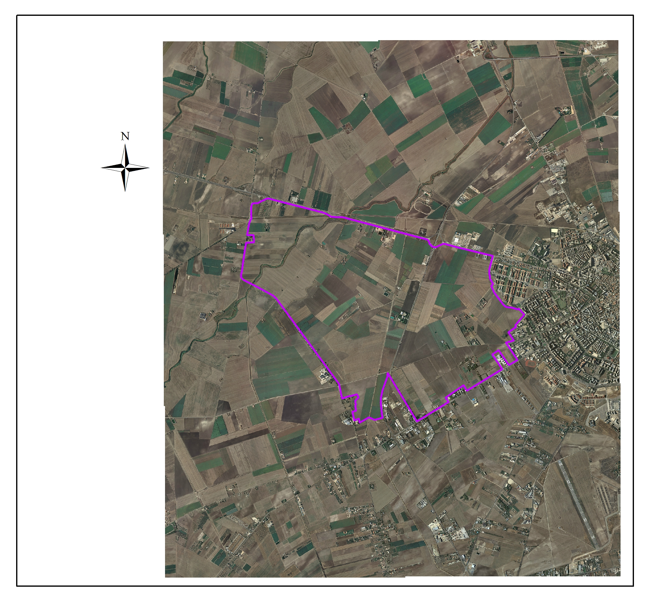
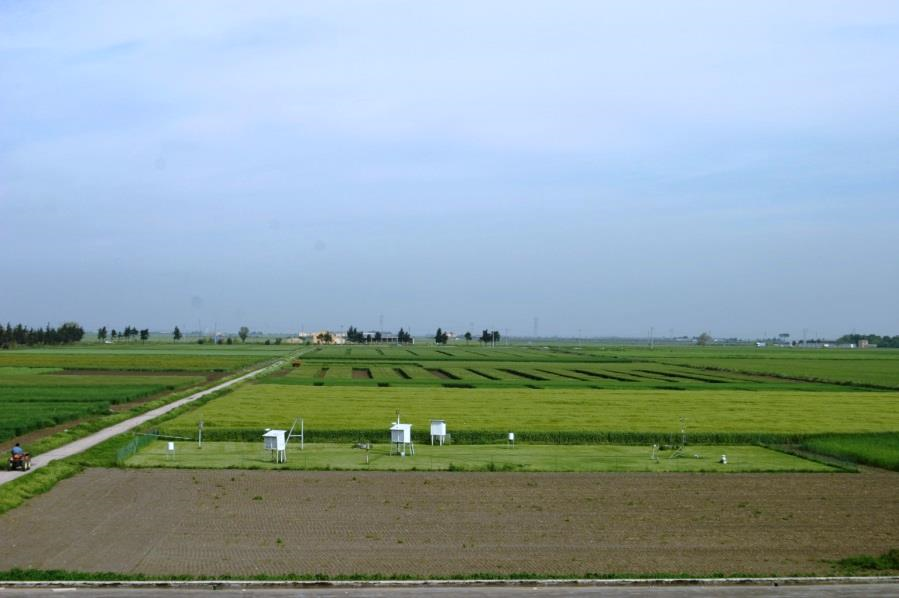
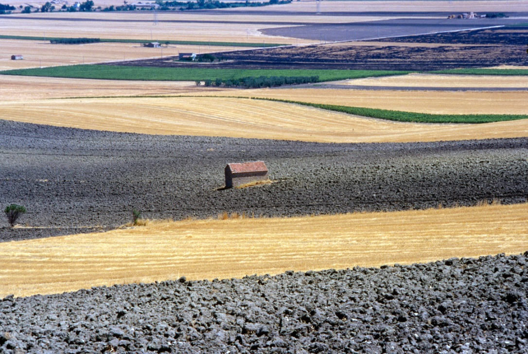
| Other Site Details | Site Description The interest of our study is focused on “Capitanata area”, a plain of about 4000 km2 located in the northern part of Apulia Region (south-eastern Italy, latitude 41° 26’ 56.62” N, longitude 15° 30’ 8.38” E, altitude 89 m a.s.l.). Such area is characterized by farms with average size up to 20 ha, highly productive soils cultivated under intensive and irrigated regime. Winter durum wheat (Triticum durum L.) represents the main cereal crop often grown in rotations with irrigated horticultural species. Among these, processing tomato crop (Lycopersicon aesculentum Mill.) is well represented. In particular, two-year rotation (tomato-wheat) and three-year rotation (tomato-wheat-wheat) are the typical farming rotations of this important productive area. “Capitanata” plain is delimited by the Apennines Chain west and by Gargano Promontory east and is mostly constituted by continental and fluvial sediments and some terraced marine deposits of Pliocene and Pleistocene ages. The climate of this zone is classified as climate “Accentuated Thermo-Mediterranean” (UNESCO-FAO), with winter seasons characterized by temperatures that sometimes descend below 0 °C and hot summers with temperature that may exceed 40 °C. Annual precipitations range between 400 and 800 mm, mostly concentrated in winter months. In general the soils are deep and clay with vertic behaviour, characterized by large and deep cracks in summer season under rain fed conditions. A wide part of the area is served by an irrigation consortium that fulfill the water requirements of crops with spring-summer cycle (as tomato). In other parts, the irrigation for spring crops is carried out utilizing private wells. The water table is very deep (200-300 m). Soil Texture: Clay Other Site Specifications:
|
In Situ Observations
EO Data
Optical Data Requirements
SAR Data Requirements
Passive Microwave Data Requirements
Thermal Data Requirements
Results
Documents and Files
Links to paper
Project Reports
Study Team
Team Leader
Other Team Members


