Overview
- Crop identification and acreage estimation:
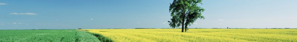
The site is the Little River Experimental Watershed (LREW). The LREW comprises 334 square kilometres of agriculture and riparian forest land in the headwaters of the Suwannee River Basin in southwestern Georgia, USA. Based on the 2011 National Land Cover Database (NLCD) datalayer, agricultural land cover in the LREW consists of cultivated crops (~12,600 ha, 37%) and pasture (~3200 ha, 9%). Cropping systems in the region consist largely of a cotton-peanut-maize rotational system, with smaller acreages devoted to soya and specialty crops (e.g. vegetables, fruits). The remaining non-agricultural land is predominantly forest or forested wetlands (~13,000 ha, 39%). Developed, herbaceous, emergent wetlands and open water together make up the remaining proportion (~15%). Operational activities in crop identification and acreage estimation are ongoing. Annual surveys of summer crop cover are conducted over 20% of the watershed area, and have been collected since 1997. Acreage estimations for crops in the watershed can be derived from USDA Cropland Data Layer (CDL) datasets that have been produced since 2008. The in-house “windshield survey” serves as an independent accuracy assessment of the CDL, and also provides information on finer scale, that is sometimes missed in the 30m pixel resolution CDL data.
- Residue and Tillage mapping:
In the past we have been involved in a project to evaluate winter cover cropping patterns. Our lab developed methods to detect winter cover residue using remotely sensed imagery.
- Soil moisture:
We have a network of nearly 30 soil moisture sensors to “assess regional soil moisture conditions in the rooting zone” throughout the watershed. This has recently be supplemented by additional soil moisture sensors for 2017 SMAP validation efforts.
- Crop biophysical variables:
At a few farms we take yield and biomass measurements at various stages during the growing season. We measure across a spatially distributed grid, so our measurements include measures of variability. At these locations we also fly a UAV with a 5-band multispectral sensor at regular intervals throughout the growing season.
Project Objectives
Site Description
| Landscape Topography | |
|---|---|
| Typical Field Size | |
| Climatic Zone | Tropics, warm |
| Major Crops and Calendars | |
| Soil Type & Texture | |
| Soil Drainage Class | |
| Irrigation Infrastructure | |
| Other Site Details |